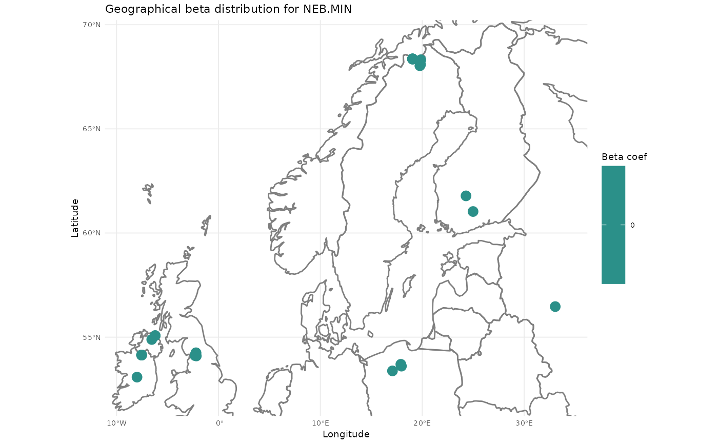
this function plots a map of the beta coefficients for a selected column (aka species).
For this function to work, the coordinates supplied to gwl_fit() must be named "Lat" and "Long".
The function is not bulletproof yet but is added here to reproduce the maps from the original publication.
Arguments
- x
a
gwlfitobject returned bygwl_fit().- column
the name of a variable to be plotted on the map. Must be quoted. for instance "NEB.MIN"
- crs
the crs projection for the map (default is mercator WGS84). See
sf::st_crs()
Examples
data(Amesbury)

distance_matrix <- compute_distance_matrix(Amesbury$coords[1:30,], add.noise = TRUE)

my.gwl.fit <- gwl_fit(bw= 20,
                      x.var = Amesbury$spe.df[1:30,],
                      y.var = Amesbury$WTD[1:30],
                      dist.mat = distance_matrix,
                      adaptive = TRUE,
                      kernel = "bisquare",
                      alpha = 1,
                      progress = TRUE)

if(requireNamespace("maps")){
    plot_gwl_map(my.gwl.fit, column = "NEB.MIN")
  }
#> Loading required namespace: maps
